2022
ST7102 : Watcombe Bottom
taken 2 years ago, near to Plush, Dorset, England
This is 1 of 4 images, with title Watcombe Bottom in this square
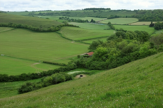
Watcombe Bottom
A view from the Hardy Way across a combe north of Plush. The foreground slope is access land, as is the hilltop on the left.
 Map © Crown Copyright")
TIP: Click the map for more Large scale mapping
- Grid Square
- ST7102, 57 images (more nearby 🔍)
- Photographer
- Derek Harper (more nearby)
- Date Taken
- Monday, 23 May, 2022 (more nearby)
- Submitted
- Tuesday, 24 May, 2022
- Subject Location
-
OSGB36:
 ST 7131 0270 [10m precision]
WGS84: 50:49.3874N 2:24.5206W - Camera Location
-
OSGB36: ST 7110 0275
- View Direction
- East-southeast (about 112 degrees)