TQ6805 : Beach at Normans' Bay, near Pevensey
taken 2 years ago, 3 km from Pevensey Bay, East Sussex, England
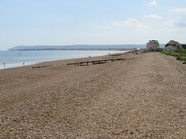
Normans Bay is a coastal hamlet in the Pevensey Levels area of East Sussex.
Contrary to popular belief it does not take its name from the Norman conquest of England of 1066. The area occupied by Normans Bay was under water at the time. The forces of William the Conqueror are believed to have landed at nearby Pevensey although there has been some dispute about this.
Normans Bay is near the popular seaside resorts of Eastbourne and Brighton to the west and Bexhill-on-Sea to the east, with a regular train service on the hour during the day (not Sundays). It is served by Normans Bay railway station. The nearest bus service is in Pevensey Bay.
Some points of interest include a sand and shingle beach, a Napoleonic defence tower (Martello Tower), two caravan sites and a large Inn. The main village is surrounded by mostly dry marshland to the North, in which lay the land remains of an ancient settlement known as Northeye, which is thought to have gradually been abandoned when the sea retreated (though there is some speculation about this).
 Map © Crown Copyright")
- Grid Square
- TQ6805, 181 images (more nearby 🔍)
- Photographer
- Malc McDonald (more nearby)
- Date Taken
- Saturday, 28 May, 2022 (more nearby)
- Submitted
- Saturday, 28 May, 2022
- Subject Location
-
OSGB36:
 TQ 6838 0544 [10m precision]
WGS84: 50:49.4412N 0:23.3571E - Camera Location
-
OSGB36: TQ 6840 0546
- View Direction
- Southwest (about 225 degrees)