2022
SO4197 : Lower Darnford Farm
taken 2 years ago, near to Ratlinghope, Shropshire, England
This is 1 of 2 images, with title Lower Darnford Farm in this square
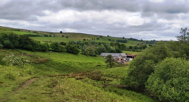
Lower Darnford Farm
 Map © Crown Copyright")
TIP: Click the map for more Large scale mapping
- Grid Square
- SO4197, 44 images (more nearby 🔍)
- Photographer
- Anthony Parkes (more nearby)
- Date Taken
- Saturday, 28 May, 2022 (more nearby)
- Submitted
- Friday, 3 June, 2022
- Subject Location
-
OSGB36:
 SO 4161 9782 [10m precision]
WGS84: 52:34.5029N 2:51.7823W - Camera Location
-
OSGB36: SO 4163 9798
- View Direction
- SOUTH (about 180 degrees)