2022

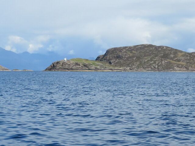
NM5699 : The Point of Sleat

taken 2 years ago, 4 km WSW of Aird/An Àird, Isle of Skye, Scotland

This is 1 of 2 images, with title The Point of Sleat in this square
The Point of Sleat
The Point of Sleat
Lighthouse LinkExternal link at the southernmost extremity of the Isle of Skye.

Creative Commons Licence [Some Rights Reserved]   © Copyright M J Richardson and licensed for reuse under this Creative Commons Licence.
Geographical Context: Coastal Islands Docks, Harbours Estuary, Marine Shore: Rocky Place: Sound of Sleat Region: Highland Primary Subject: Headland other tags: Lighthouse Navigation Light Rocky Coast Click a tag, to view other nearby images.
1:50,000 Modern Day Landranger(TM) Map © Crown Copyright
+
1:50,000 Modern Day Landranger(TM) Map © Crown Copyright
TIP: Click the map for more Large scale mapping
Grid Square
NM5699, 39 images   (more nearby 🔍)
Photographer
M J Richardson   (more nearby)
Date Taken
Tuesday, 24 May, 2022   (more nearby)
Submitted
Friday, 3 June, 2022
Subject Location
OSGB36: geotagged! NM 5621 9909 [10m precision]
WGS84: 57:1.0997N 6:1.0782W
View Direction
North-northwest (about 337 degrees)
Clickable map
+
NW N NE
W Go E
SW S SE
Image Type (about): extra 
This page has been viewed about 26 times
You are not logged in login | register