TQ0538 : Downs Link, Cranleigh
taken 2 years ago, near to Cranleigh, Surrey, England
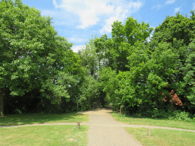
The Downs Link is a 37-mile (59 km) footpath and bridleway linking the North Downs Way Link at St. Martha's Hill in Surrey with the South Downs Way Link near Steyning in West Sussex and on via the Coastal Link to Shoreham-by-Sea. Most of the route follows two dismantled railway lines, both closed by the Beeching cuts in the 1960s. The Shoreham-On-Sea to Christs Hospital line and the Christs Hospital to Shalford Junction line. The link opened in 1984.
Cycle Route 223 follows the Downs link from Guildford to Shoreham.
The logo for the walk is the viaduct across the River Arun TQ0932 : Double Viaduct over the River Arun.
A full history of the Cranleigh line (Christs Hospital to Shalford Junction) can be read at Link
Route 223 of the National Cycle Network (NCN223) links Chertsey in Surrey with Shoreham-by-Sea on the West Sussex coast. South of Guildford, NCN223 uses the route of the Downs Link path, mostly along disused railway lines.
More information on Sustrans' websiteL Link
The National Cycle Network is a network of cycle routes. It was created by the charity Sustrans Link
Many routes aim to minimise contact with motor traffic, though 70% of them are on roads. In some cases the NCN uses pedestrian routes, disused railways, minor roads, canal towpaths, or traffic-calmed routes in towns and cities.
 Map © Crown Copyright")
- Grid Square
- TQ0538, 124 images (more nearby 🔍)
- Photographer
- Malc McDonald (more nearby)
- Date Taken
- Friday, 3 June, 2022 (more nearby)
- Submitted
- Saturday, 4 June, 2022
- Subject Location
-
OSGB36:
 TQ 0583 3881 [10m precision]
WGS84: 51:8.3274N 0:29.3200W - Camera Location
-
OSGB36: TQ 0584 3880
- View Direction
- North-northwest (about 337 degrees)