2022
NY5688 : At the high point of the 'Reivers Route'
taken 2 years ago, near to Lazy Knowe [hill or Mountain], Cumbria, Great Britain
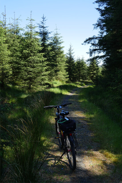
At the high point of the 'Reivers Route'
357 metres above sea level at Caplestone Fell finds the National Cycle Route 10 deep within forestry.
This photograph was taken during the Coronavirus (COVID-19) pandemic of 2020/21/22.
This photograph was taken during the Coronavirus (COVID-19) pandemic of 2020/21/22.
 Map © Crown Copyright")
TIP: Click the map for more Large scale mapping
- Grid Square
- NY5688, 12 images (more nearby 🔍)
- Photographer
- James T M Towill (more nearby)
- Date Taken
- Saturday, 4 June, 2022 (more nearby)
- Submitted
- Monday, 6 June, 2022
- Subject Location
-
OSGB36:
 NY 5687 8855 [10m precision]
WGS84: 55:11.3601N 2:40.7375W - Camera Location
-
OSGB36: NY 5685 8855
- View Direction
- EAST (about 90 degrees)