2022

NN2033 : Allt Chailleach

taken 2 years ago, 4 km N of Achnafalnich, Argyll And Bute, Scotland
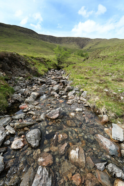
Allt Chailleach
Allt Chailleach

Creative Commons Licence [Some Rights Reserved]   © Copyright Andy Waddington and licensed for reuse under this Creative Commons Licence.
Geographical Context: Uplands Rivers, Streams, Drainage Moorland Category: Mountain Stream Category: Mountain stream
This photo is linked from: Automatic Clusters: · Chailleach [2] ·
1:50,000 Modern Day Landranger(TM) Map © Crown Copyright
+
+
1:50,000 Modern Day Landranger(TM) Map © Crown Copyright
TIP: Click the map for more Large scale mapping
Grid Square
NN2033, 5 images   (more nearby 🔍)
Photographer
Andy Waddington   (more nearby)
Date Taken
Thursday, 2 June, 2022   (more nearby)
Submitted
Tuesday, 7 June, 2022
Subject Location
OSGB36: geotagged! NN 2096 3363 [10m precision]
WGS84: 56:27.6423N 4:54.4421W
Camera Location
OSGB36: geotagged! NN 2097 3361
View Direction
North-northwest (about 337 degrees)
Clickable map
+
NW N NE
W Go E
SW S SE
Image Type (about): geograph  (Fourth Visitor for NN2033) · First in 5 Years (TPoint) (about)
This page has been viewed about 13 times
You are not logged in login | register