2022
SU6140 : Farmland, Preston Candover
taken 2 years ago, near to Preston Candover, Hampshire, England
This is 1 of 2 images, with title Farmland, Preston Candover in this square
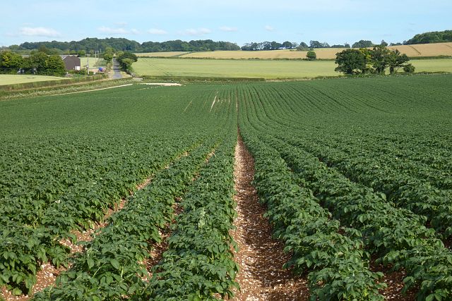
Farmland, Preston Candover
The road towards Lower Wield is seen beyond a crop of potatoes.
 Map © Crown Copyright")
TIP: Click the map for more Large scale mapping
- Grid Square
- SU6140, 40 images (more nearby 🔍)
- Photographer
- Andrew Smith (more nearby)
- Date Taken
- Sunday, 26 June, 2022 (more nearby)
- Submitted
- Thursday, 30 June, 2022
- Subject Location
-
OSGB36:
 SU 616 402 [100m precision]
WGS84: 51:9.4967N 1:7.1714W - Camera Location
-
OSGB36: SU 615 403
- View Direction
- Southeast (about 135 degrees)