2022
SD6155 : Permissive Path above Harthole Plantation
taken 2 years ago, 3 km from Tarnbrook, Lancashire, England
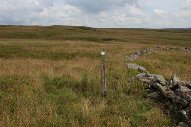
Permissive Path above Harthole Plantation
The path between Millers House and White Moor has the odd solitary indicator, but does not exist in physical form for much of its length.
 Map © Crown Copyright")
TIP: Click the map for more Large scale mapping
- Grid Square
- SD6155, 6 images (more nearby 🔍)
- Photographer
- Chris Heaton (more nearby)
- Date Taken
- Wednesday, 27 July, 2022 (more nearby)
- Submitted
- Thursday, 28 July, 2022
- Subject Location
-
OSGB36:
 SD 6179 5501 [10m precision]
WGS84: 53:59.3827N 2:35.0550W - Camera Location
-
OSGB36: SD 6176 5501
- View Direction
- EAST (about 90 degrees)