2007
NZ2063 : Derwenthaugh Staithes
taken 16 years ago, near to Blaydon, Gateshead, England
This is 1 of 3 images, with title Derwenthaugh Staithes in this square
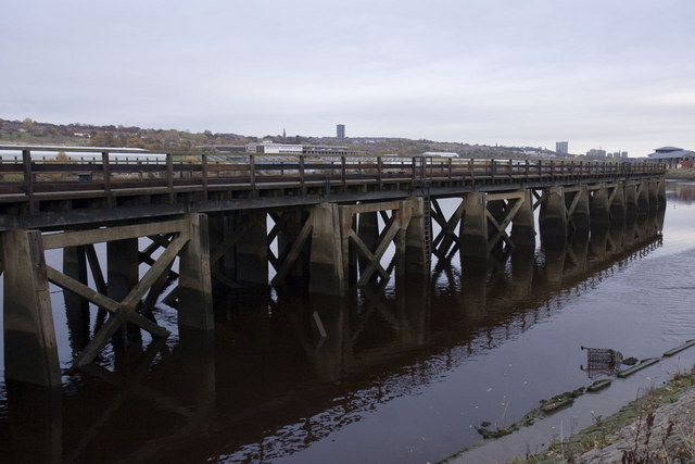
Derwenthaugh Staithes
Derwenthaugh coal staithes.
 Map © Crown Copyright")
TIP: Click the map for more Large scale mapping
- Grid Square
- NZ2063, 73 images (more nearby 🔍)
- Photographer
- Craig Allan (more nearby)
- Date Taken
- Sunday, 4 November, 2007 (more nearby)
- Submitted
- Thursday, 13 March, 2008
- Subject Location
-
OSGB36:
 NZ 204 633 [100m precision]
WGS84: 54:57.8618N 1:40.9187W - Camera Location
-
OSGB36: NZ 203 633
- View Direction
- East-northeast (about 67 degrees)