2022
SD6057 : Track on Tarnbrook Fell
taken 2 years ago, near to Tarnbrook, Lancashire, England
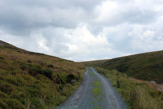
Track on Tarnbrook Fell
 Map © Crown Copyright")
TIP: Click the map for more Large scale mapping
- Grid Square
- SD6057, 14 images (more nearby 🔍)
- Photographer
- Chris Heaton (more nearby)
- Date Taken
- Wednesday, 27 July, 2022 (more nearby)
- Submitted
- Sunday, 31 July, 2022
- Subject Location
-
OSGB36:
 SD 6092 5711 [10m precision]
WGS84: 54:0.5112N 2:35.8673W - Camera Location
-
OSGB36: SD 6090 5708
- View Direction
- Northeast (about 45 degrees)