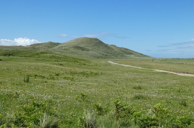
NM1453 : Coll - Nature Reserve - Dunes and path
taken 2 years ago, near to Arileod, Coll, Argyll And Bute, Scotland
The Isle of Coll lies in the Sea of the Hebrides to the west of the much larger island of Mull, and immediately to the northeast of its neighbour, Tiree (Tiriodh).
Coll is much hillier and far less suitable for agriculture than Tiree, though the latter has slightly higher hills at its western edge whereas Coll has a distribution of c.60m hills over much of its terrain. Its highest point, Ben Hogh, achieving just 106m (348'). This difference in topography results in Coll having less than a third of the population of its neighbour.
Whereas Tiree is criss-crossed by a network of roads and lanes, Coll only really has one major road with a few (dead-end) 'branches'. Like Tiree, it is famed for its beaches, especially along its northwest coast and the massive expanse of dunes at the southwest of the island between Feall and Crossapol Bays.
Just off the SW coast is the small uninhabited island of Gunna (69ha, 170 acres (c.¼ mile²)) and off its NE coast a collection of uninhabited islets, the "Cairns of Coll" the largest of which is Eilean Mòr (c.18ha, 45 acres)
Statistics (Coll main island)
Area: 7,685ha (29.67 miles²)
Population: 195 (2011 census)
Density 2.537/km² (6.572/mile²)
Highest Point: Ben Hogh, 106m (348')
Principal settlement: Arinagour (with about ¼ of the island's population)
 Map © Crown Copyright")
- Grid Square
- NM1453, 18 images (more nearby 🔍)
- Photographer
- Rob Farrow (more nearby)
- Date Taken
- Wednesday, 29 June, 2022 (more nearby)
- Submitted
- Thursday, 11 August, 2022
- Subject Location
-
OSGB36:
 NM 1489 5386 [10m precision]
WGS84: 56:35.3820N 6:38.7503W - Camera Location
-
OSGB36: NM 1513 5344
- View Direction
- North-northwest (about 337 degrees)