2022
TQ7416 : Three Corner Field/Brook Meadow
taken 2 years ago, near to Battle, East Sussex, England
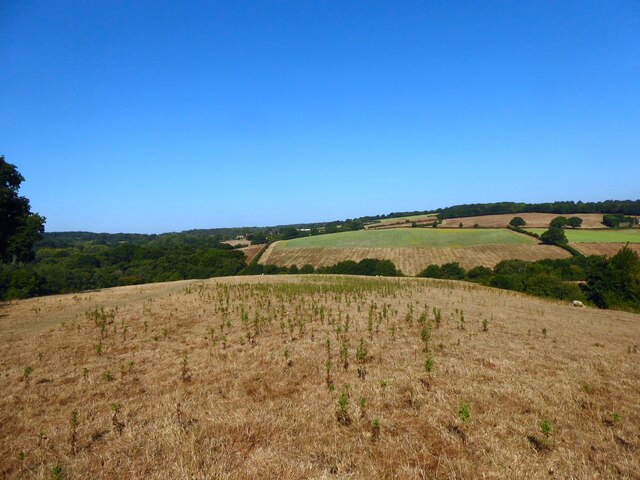
Three Corner Field/Brook Meadow
The name of the fields according to Battle's 1859 tithe map that have been merged along with TQ7316 : Long Pasture to the west of the public footpath to form a larger unit. Three Corner Field was in the foreground whilst Brook Meadow was the much larger field descending the slope towards an unnamed tributary of the River Line.
 Map © Crown Copyright")
TIP: Click the map for more Large scale mapping
- Grid Square
- TQ7416, 201 images (more nearby 🔍)
- Photographer
- Simon Carey (more nearby)
- Date Taken
- Saturday, 13 August, 2022 (more nearby)
- Submitted
- Sunday, 14 August, 2022
- Subject Location
-
OSGB36:
 TQ 7401 1641 [10m precision]
WGS84: 50:55.2547N 0:28.4613E - Camera Location
-
OSGB36: TQ 7409 1637
- View Direction
- West-northwest (about 292 degrees)