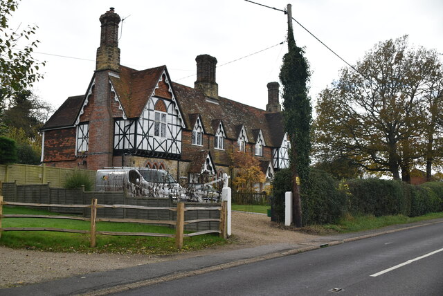
TQ7131 : Old Timbers
taken 2 years ago, near to Flimwell, East Sussex, England
Listed buildings and structures are officially designated as being of special architectural, historical or cultural significance. There are over half a million listed structures in the United Kingdom, covered by around 375,000 listings.
Listed status is more commonly associated with buildings or groups of buildings, however it can cover many other structures, including bridges, headstones, steps, ponds, monuments, walls, phone boxes, wrecks, parks, and heritage sites, and in more recent times a road crossing (Abbey Road) and graffiti art (Banksy 'Spy-booth') have been included.
In England and Wales there are three main listing designations;
Grade I (2.5%) - exceptional interest, sometimes considered to be internationally important.
Grade II* (5.5%) - particularly important buildings of more than special interest.
Grade II (92%) - nationally important and of special interest.
There are also locally listed structures (at the discretion of local authorities) using A, B and C designations.
In Scotland three classifications are also used but the criteria are different. There are around 47,500 Listed buildings.
Category A (8%)- generally equivalent to Grade I and II* in England and Wales
Category B (51%)- this appears generally to cover the ground of Grade II, recognising national importance.
Category C (41%)- buildings of local importance, probably with some overlap with English Grade II.
In Northern Ireland the criteria are similar to Scotland, but the classifications are:
Grade A (2.3%)
Grade B+ (4.7%)
Grade B (93%)
Read more at Wikipedia Link
The village of Flimwell is located at a busy crossroads on the A21 road where two roads, the A268 to Hawkhurst and the B2087 cross it.
The village is linear in shape. Although Flimwell has no defined centre and no convenience store, there are a number of businesses and facilities in and around the village, including The Weald Smokery, pub, motel, furniture shop, church, cricket ground, playground, nursery, garage, truck garage & car showroom.
 Map © Crown Copyright")
- Grid Square
- TQ7131, 159 images (more nearby 🔍)
- Photographer
- N Chadwick (more nearby)
- Date Taken
- Thursday, 11 November, 2021 (more nearby)
- Submitted
- Sunday, 14 August, 2022
- Subject Location
-
OSGB36:
 TQ 7187 3107 [10m precision]
WGS84: 51:3.1955N 0:27.0521E - Camera Location
-
OSGB36: TQ 7191 3109
- View Direction
- Southwest (about 225 degrees)