2022
TQ7217 : Eleven Acre Top Field
taken 2 years ago, near to Battle, East Sussex, England
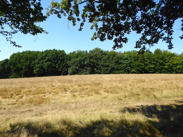
Eleven Acre Top Field
The name of the field according to Battle's 1859 tithe map that is bounded to the north and west by Ashes Wood and to the east by Wadhurst Lane.
 Map © Crown Copyright")
TIP: Click the map for more Large scale mapping
- Grid Square
- TQ7217, 35 images (more nearby 🔍)
- Photographer
- Simon Carey (more nearby)
- Date Taken
- Saturday, 13 August, 2022 (more nearby)
- Submitted
- Monday, 15 August, 2022
- Subject Location
-
OSGB36:
 TQ 7293 1718 [10m precision]
WGS84: 50:55.6892N 0:27.5622E - Camera Location
-
OSGB36: TQ 7298 1715
- View Direction
- West-northwest (about 292 degrees)