2008
SH4858 : Curving track at the approach to the Cae Moel overbridge
taken 16 years ago, near to Dinas, Gwynedd, Wales
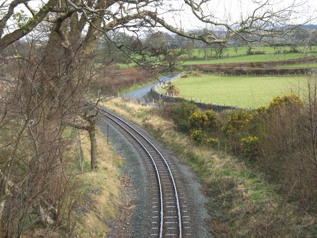
Curving track at the approach to the Cae Moel overbridge
 Map © Crown Copyright")
TIP: Click the map for more Large scale mapping
- Grid Square
- SH4858, 25 images (more nearby 🔍)
- Photographer
- Eric Jones (more nearby)
- Date Taken
- Tuesday, 18 March, 2008 (more nearby)
- Submitted
- Thursday, 20 March, 2008
- Subject Location
-
OSGB36:
 SH 480 583 [100m precision]
WGS84: 53:6.0554N 4:16.2527W - Camera Location
-
OSGB36: SH 480 583
- View Direction
- Northeast (about 45 degrees)