SJ7254 : Entrance to Quaker's Coppice
taken 4 years ago, near to Haslington, Cheshire East, England
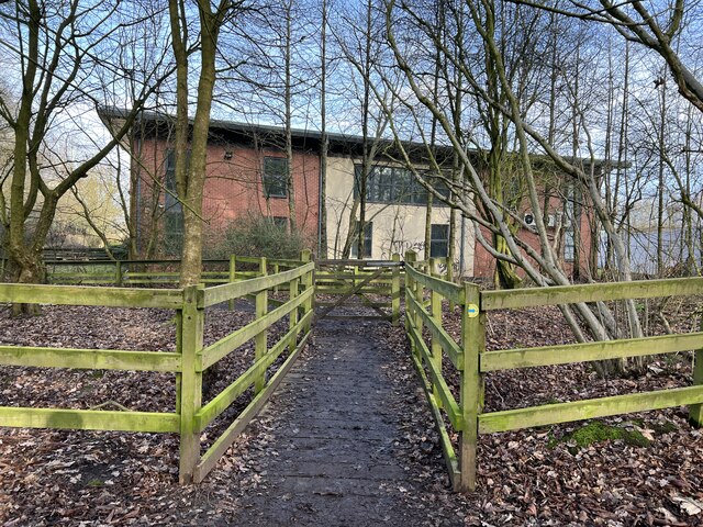
Quaker's Coppice is a 4.5 ha mature woodland, standing on heavy clay on the edge of the Crewe Gates Farm Industrial Estate. It appears to consist of secondary woodland on an ancient woodland site. The Coppice is owned by Cheshire East Council but managed by ANSA Environmental Services. Nest boxes were first provided at Quakers Coppice in 1985 by Cheshire Wildlife Trust, who managed the area at that time. In the early 1980’s there were no paths, ground vegetation was mainly dense brambles and it was difficult to walk in the wood. In 2010/11 the area had a surfaced pathway laid through the site and a pond dipping platform installed. The site is regularly used by pedestrians and is heavily used by dog walkers. While the site has many mature trees, there is now limited ground cover for ground nesting or ground feeding wildlife.
Woodland Trust webpage
Link
Walk for All leaflet including map and access details
Link
Nestbox monitoring by South East Cheshire Ornithological Society (SECOS) including annual reports
Link


- Grid Square
- SJ7254, 32 images (more nearby 🔍)
- Photographer
- Jonathan Hutchins (more nearby)
- Date Taken
- Sunday, 29 January, 2023 (more nearby)
- Submitted
- Sunday, 29 January, 2023
- Subject Location
-
OSGB36:
 SJ 7244 5473
[10m precision]
WGS84: 53:5.3439N 2:24.7773W - Camera Location
-
OSGB36:
SJ 7243 5473
- View Direction
- North-northeast (about 22 degrees)


