2008
SX0785 : Footpath from Trebarwith Road to Trenouth Farm
taken 16 years ago, near to Delabole, Cornwall, England
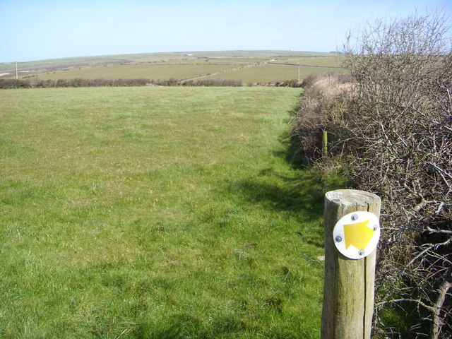
Footpath from Trebarwith Road to Trenouth Farm
Taken from the top of the stile looking down the line of the hedge that runs along the road. The footpath runs across the field in the direction of the arrow.
 Map © Crown Copyright")
TIP: Click the map for more Large scale mapping
- Grid Square
- SX0785, 2 images (more nearby 🔍)
- Photographer
- William Bartlett (more nearby)
- Date Taken
- Friday, 28 March, 2008 (more nearby)
- Submitted
- Friday, 28 March, 2008
- Subject Location
-
OSGB36:
 SX 071 851 [100m precision]
WGS84: 50:38.0158N 4:43.7466W - Camera Location
-
OSGB36: SX 070 850
- View Direction
- Northeast (about 45 degrees)