2008
SU2079 : Liddington Castle western ditch, Liddington
taken 16 years ago, near to Badbury, Swindon, England
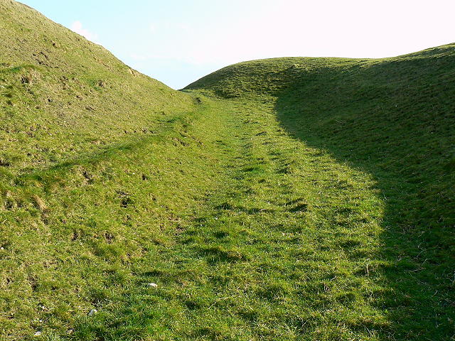
Liddington Castle western ditch, Liddington
The Iron Age hill fort is a 'univallate' fort which means an enclosure defined by a single bank and ditch. This is in the western section of the ditch looking south.
 Map © Crown Copyright")
TIP: Click the map for more Large scale mapping
- Grid Square
- SU2079, 55 images (more nearby 🔍)
- Photographer
- Brian Robert Marshall (more nearby)
- Date Taken
- Friday, 28 March, 2008 (more nearby)
- Submitted
- Friday, 28 March, 2008
- Subject Location
-
OSGB36:
 SU 207 796 [100m precision]
WGS84: 51:30.9076N 1:42.1679W - Camera Location
-
OSGB36: SU 207 796
- View Direction
- SOUTH (about 180 degrees)