2008
TL3603 : Track to Fishers Green
taken 16 years ago, near to Cheshunt, Hertfordshire, England
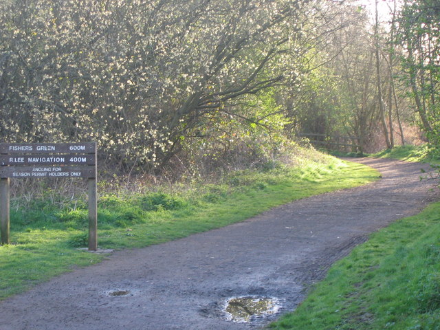
Track to Fishers Green
The track shown is to the Lea Navigation at Fishers Green. To the left of the sign is a track that leads to Aqueduct Lock also on the Lea Navigation, but a little further.
 Map © Crown Copyright")
TIP: Click the map for more Large scale mapping
- Grid Square
- TL3603, 43 images (more nearby 🔍)
- Photographer
- Talisman (more nearby)
- Date Taken
- Saturday, 12 April, 2008 (more nearby)
- Submitted
- Sunday, 13 April, 2008
- Subject Location
-
OSGB36:
 TL 369 037 [100m precision]
WGS84: 51:42.9240N 0:1.1156W - Camera Location
-
OSGB36: TL 369 037
- View Direction
- EAST (about 90 degrees)