2008
SD9617 : Roads ancient and modern
taken 16 years ago, near to Summit, Rochdale, England
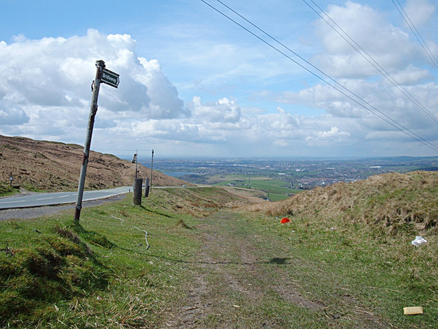
Roads ancient and modern
The bridleway was once the main route from Rochdale into Yorkshire. Now the A58 to its east (visible left of shot) carries the traffic leaving the old route for recreational users.
 Map © Crown Copyright")
TIP: Click the map for more Large scale mapping
- Grid Square
- SD9617, 69 images (more nearby 🔍)
- Photographer
- michael ely (more nearby)
- Date Taken
- Thursday, 1 May, 2008 (more nearby)
- Submitted
- Thursday, 1 May, 2008
- Subject Location
-
OSGB36:
 SD 966 177 [100m precision]
WGS84: 53:39.3685N 2:3.1389W - Camera Location
-
OSGB36: SD 967 177
- View Direction
- West-southwest (about 247 degrees)