2005
SX5064 : Roborough Down Trig Pillar
taken 18 years ago, near to Milton Combe, Devon, England
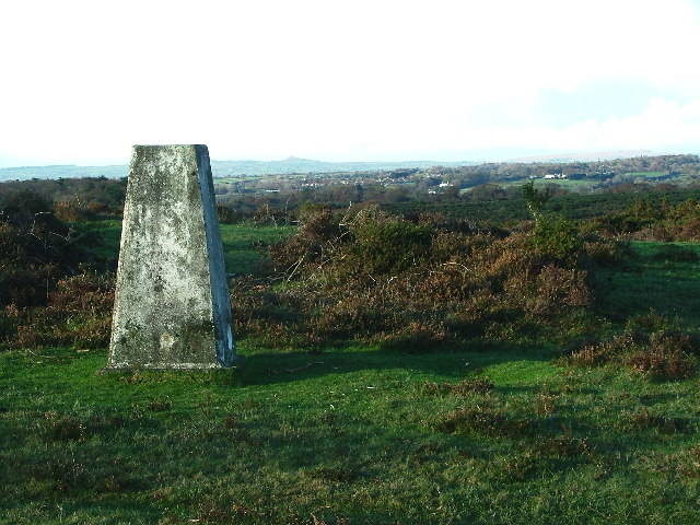
Roborough Down Trig Pillar
Situated close to the A386 across Roborough Down and adjacent to some low profile "Earth Works", amongst the gorse and bracken, this trig pillar offers distant views. The view to the north reaching Brent Tor (the small pimple that may be seen centrally on the horizon)
 Map © Crown Copyright")
TIP: Click the map for more Large scale mapping
- Grid Square
- SX5064, 27 images (more nearby 🔍)
- Photographer
- Gwyn Jones (more nearby)
- Date Taken
- Saturday, 12 November, 2005 (more nearby)
- Submitted
- Tuesday, 15 November, 2005
- Subject Location
-
OSGB36:
 SX 50 64 [1000m precision]
WGS84: 50:27.6735N 4:6.4582W