2008
SE0419 : Well, Bank Hey Bottom Lane, Barkisland
taken 16 years ago, near to Ripponden, Calderdale, England
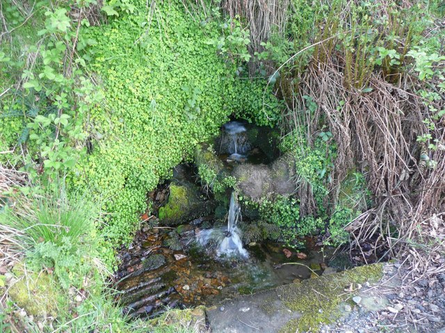
Well, Bank Hey Bottom Lane, Barkisland
This was probably the water supply for nearby cottages.
 Map © Crown Copyright")
TIP: Click the map for more Large scale mapping
- Grid Square
- SE0419, 129 images (more nearby 🔍)
- Photographer
- Humphrey Bolton (more nearby)
- Date Taken
- Monday, 12 May, 2008 (more nearby)
- Submitted
- Thursday, 15 May, 2008
- Subject Location
-
OSGB36:
 SE 043 193 [100m precision]
WGS84: 53:40.2095N 1:56.1835W - Camera Location
-
OSGB36: SE 043 193
- View Direction
- SOUTH (about 180 degrees)