2008
SP9233 : Milton Keynes Boundary Walk, Aspley Heath
taken 16 years ago, near to Bow Brickhill, Milton Keynes, England
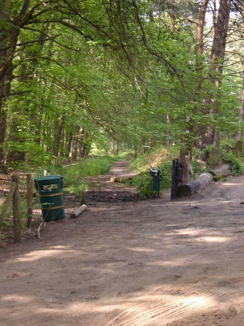
Milton Keynes Boundary Walk, Aspley Heath
View up the Milton Keynes Boundary Walk from the bottom of Sandy Lane.
 Map © Crown Copyright")
TIP: Click the map for more Large scale mapping
- Grid Square
- SP9233, 20 images (more nearby 🔍)
- Photographer
- Mr Biz (more nearby)
- Date Taken
- Tuesday, 20 May, 2008 (more nearby)
- Submitted
- Tuesday, 20 May, 2008
- Subject Location
-
OSGB36:
 SP 920 338 [100m precision]
WGS84: 51:59.7121N 0:39.6079W - Camera Location
-
OSGB36: SP 921 338
- View Direction
- North-northwest (about 337 degrees)