2008
SP3378 : Cycle Path
taken 16 years ago, near to Coventry, England
This is 1 of 5 images, with title starting with Cycle in this square
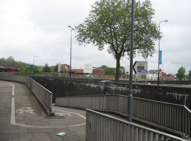
Cycle Path
Heading under Warwick Road to get to the city centre from the railway station.
 Map © Crown Copyright")
TIP: Click the map for more Large scale mapping
- Grid Square
- SP3378, 1565 images (more nearby 🔍)
- Photographer
- Mr Ignavy (more nearby)
- Date Taken
- Saturday, 17 May, 2008 (more nearby)
- Submitted
- Saturday, 24 May, 2008
- Subject Location
-
OSGB36:
 SP 331 783 [100m precision]
WGS84: 52:24.1460N 1:30.8418W - Camera Location
-
OSGB36: SP 331 783
- View Direction
- West-northwest (about 292 degrees)