2008
SP5972 : Grazing land, Crick, Northamptonshire
taken 16 years ago, near to Crick, West Northamptonshire, England
This is 1 of 2 images, with title Grazing land, Crick, Northamptonshire in this square
Grazing land, Crick, Northamptonshire
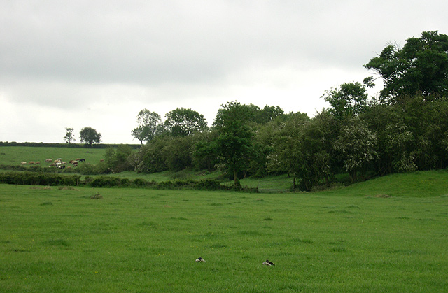
The Grand Union Canal (Leicester Section) is concealed behind the line of trees on the embankment. It enters Crick Tunnel to pass through the hill on which cattle can be seen grazing.
 Map © Crown Copyright")
TIP: Click the map for more Large scale mapping
- Grid Square
- SP5972, 133 images (more nearby 🔍)
- Photographer
- Roger D Kidd (more nearby)
- Date Taken
- Tuesday, 27 May, 2008 (more nearby)
- Submitted
- Wednesday, 28 May, 2008
- Subject Location
-
OSGB36:
 SP 595 722 [100m precision]
WGS84: 52:20.7274N 1:7.6091W - Camera Location
-
OSGB36: SP 596 724
- View Direction
- South-southwest (about 202 degrees)