2008
SO9967 : Brotherton's Wood
taken 16 years ago, near to Tardebigge, Worcestershire, England
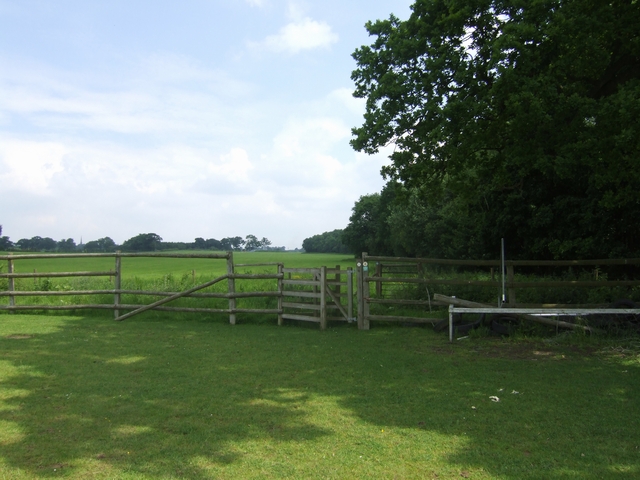
Brotherton's Wood
The Monarch's Way skirts the western edge of the wood.
 Map © Crown Copyright")
TIP: Click the map for more Large scale mapping
- Grid Square
- SO9967, 30 images (more nearby 🔍)
- Photographer
- John M (more nearby)
- Date Taken
- Saturday, 31 May, 2008 (more nearby)
- Submitted
- Saturday, 31 May, 2008
- Subject Location
-
OSGB36:
 SO 994 674 [100m precision]
WGS84: 52:18.2939N 2:0.5341W - Camera Location
-
OSGB36: SO 994 673
- View Direction
- Northeast (about 45 degrees)