2008
NS4477 : Doughnot Hill
taken 16 years ago, 4 km NE of Milton, West Dunbartonshire, Scotland
This is 1 of 8 images, with title Doughnot Hill in this square
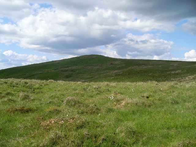
Doughnot Hill
View to the 374m summit from the north of Black Linn Reservoir.
 Map © Crown Copyright")
TIP: Click the map for more Large scale mapping
- Grid Square
- NS4477, 79 images (more nearby 🔍)
- Photographer
- Stephen Sweeney (more nearby)
- Date Taken
- Saturday, 31 May, 2008 (more nearby)
- Submitted
- Wednesday, 4 June, 2008
- Subject Location
-
OSGB36:
 NS 447 776 [100m precision]
WGS84: 55:58.0060N 4:29.3452W - Camera Location
-
OSGB36: NS 447 771
- View Direction
- NORTH (about 0 degrees)