2008
SN7276 : Fields around Ty'n-y-Rhŷd farm
taken 16 years ago, near to Devil's Bridge, Ceredigion/Sir Ceredigion, Wales
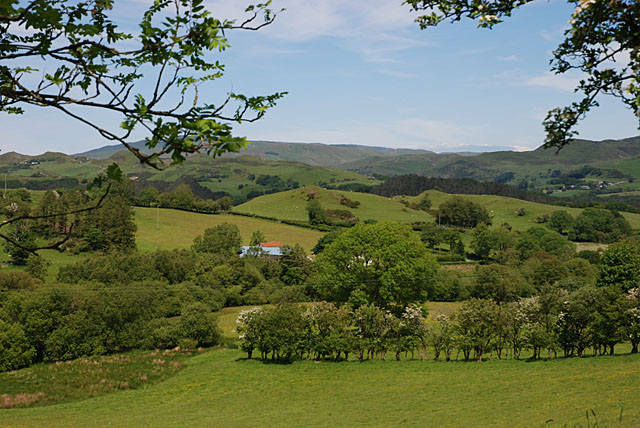
Fields around Ty'n-y-Rhŷd farm
Together with some flourishing trees.
 Map © Crown Copyright")
TIP: Click the map for more Large scale mapping
- Grid Square
- SN7276, 14 images (more nearby 🔍)
- Photographer
- Nigel Brown (more nearby)
- Date Taken
- Sunday, 8 June, 2008 (more nearby)
- Submitted
- Monday, 9 June, 2008
- Subject Location
-
OSGB36:
 SN 728 767 [100m precision]
WGS84: 52:22.4121N 3:52.1768W - Camera Location
-
OSGB36: SN 724 764
- View Direction
- East-northeast (about 67 degrees)