2008
NO5000 : Ardross souterrain
taken 16 years ago, near to Elie, Fife, Scotland
This is 1 of 15 images, with title starting with Ardross in this square
Ardross souterrain
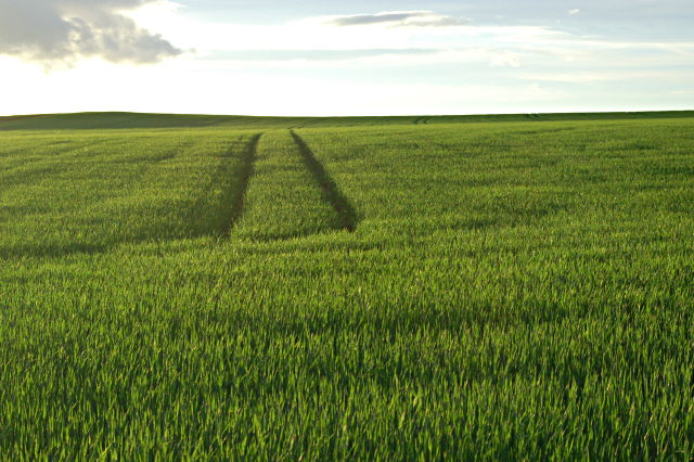
The high ground to the left is the site of the Ardross souterrain.
Souterrains come in several forms and the Ardross one consisted of a chamber at the end of a narrow twisty passage.
Souterrains come in several forms and the Ardross one consisted of a chamber at the end of a narrow twisty passage.
 Map © Crown Copyright")
TIP: Click the map for more Large scale mapping
- Grid Square
- NO5000, 114 images (more nearby 🔍)
- Photographer
- Jim Bain (more nearby)
- Date Taken
- Monday, 9 June, 2008 (more nearby)
- Submitted
- Monday, 9 June, 2008
- Subject Location
-
OSGB36:
 NO 503 009 [100m precision]
WGS84: 56:11.9188N 2:48.0770W - Camera Location
-
OSGB36: NO 506 006
- View Direction
- Northwest (about 315 degrees)