2005
TF4034 : saltmarsh and drained land
taken 19 years ago, near to Holbeach st Matthew, Lincolnshire, England
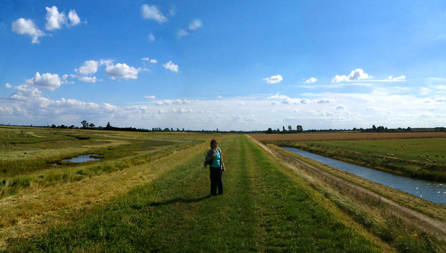
saltmarsh and drained land
At about 16:12 hrs
 Map © Crown Copyright")
TIP: Click the map for more Large scale mapping
- Grid Square
- TF4034, 40 images (more nearby 🔍)
- Photographer
- Ron Sills (more nearby)
- Date Taken
- Friday, 5 August, 2005 (more nearby)
- Submitted
- Monday, 9 June, 2008
- Subject Location
-
OSGB36:
 TF 408 341 [100m precision]
WGS84: 52:53.1828N 0:5.4700E - Camera Location
-
OSGB36: TF 407 344
- View Direction
- SOUTH (about 180 degrees)