2008
NS9885 : Culross Pier
taken 16 years ago, near to Culross, Fife, Scotland
This is 1 of 10 images, with title Culross Pier in this square
Culross Pier
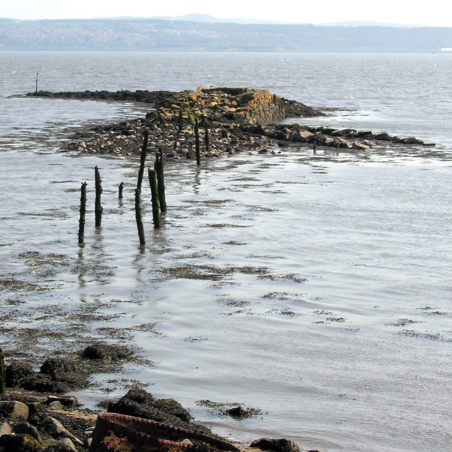
On old maps, the stone section in the distance is referred to as The Large Pier and the section nearer to shore, with a few wooden poles sticking up, as The Platform.
When the local coal pit became unusable in 1625, Culross went into serious decline. Later the stone from the pier was removed and used in other projects.
More information on Culross at:
Link
When the local coal pit became unusable in 1625, Culross went into serious decline. Later the stone from the pier was removed and used in other projects.
More information on Culross at:
Link
 Map © Crown Copyright")
TIP: Click the map for more Large scale mapping
- Grid Square
- NS9885, 265 images (more nearby 🔍)
- Photographer
- Nigel J C Turnbull (more nearby)
- Date Taken
- Saturday, 7 June, 2008 (more nearby)
- Submitted
- Wednesday, 11 June, 2008
- Subject Location
-
OSGB36:
 NS 984 856 [100m precision]
WGS84: 56:3.1847N 3:37.9161W - Camera Location
-
OSGB36: NS 984 858
- View Direction
- South-southeast (about 157 degrees)