2008
SD6753 : Burn Fell
taken 16 years ago, 4 km WNW of Slaidburn, Lancashire, England
This is 1 of 3 images, with title starting with Burn Fell in this square
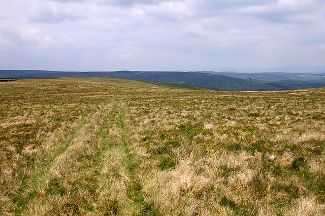
Burn Fell
This track (faint in places) crosses the fell to meet the bridleway on Wisket Hill.
 Map © Crown Copyright")
TIP: Click the map for more Large scale mapping
- Grid Square
- SD6753, 20 images (more nearby 🔍)
- Photographer
- Mr T (more nearby)
- Date Taken
- Saturday, 31 May, 2008 (more nearby)
- Submitted
- Wednesday, 18 June, 2008
- Subject Location
-
OSGB36:
 SD 675 537 [100m precision]
WGS84: 53:58.7433N 2:29.7489W - Camera Location
-
OSGB36: SD 675 535
- View Direction
- NORTH (about 0 degrees)