2008
G8886 : The Blue Stack way
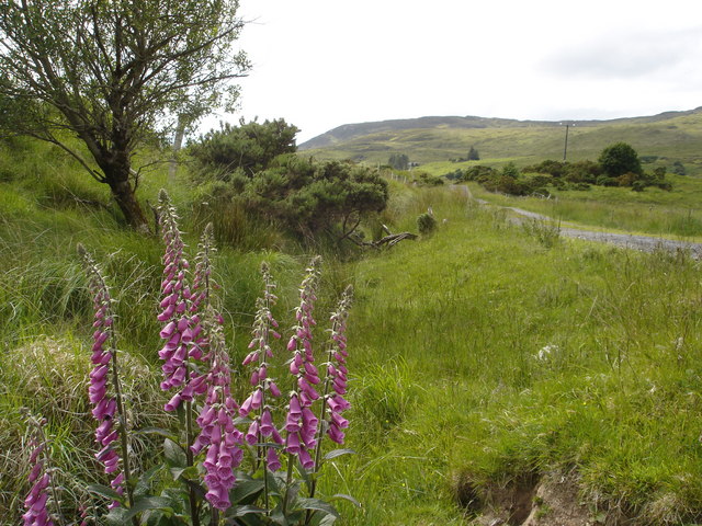
taken 16 years ago, 4 km N of Letterbarra, Co Donegal, Ireland
The Blue Stack way
Part of the walking trail known as the Blue Stack Way. This is the part that crosses the lower western side of the mountain range and can be accessed from Donegal town.
Loading map... (JavaScript required)
- Grid Square
- G8886, 6 images (more nearby 🔍)
- Photographer
- Kay Atherton (more nearby)
- Date Taken
- Saturday, 14 June, 2008 (more nearby)
- Submitted
- Monday, 23 June, 2008
- Subject Location
-
Irish:
 G 8810 8690 [10m precision]
WGS84: 54:43.7974N 8:11.1275W - Camera Location
-
Irish: G 8815 8690
- View Direction
- WEST (about 270 degrees)