2008
NR7030 : Lussa Loch Kintyre West Side
taken 16 years ago, 4 km N of Skeroblingarry, Argyll And Bute, Scotland
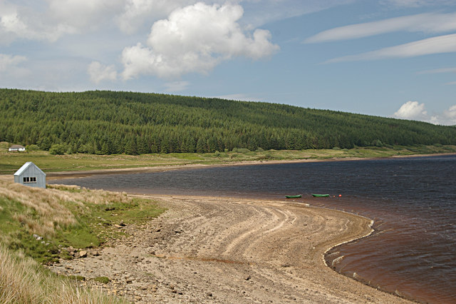
Lussa Loch Kintyre West Side
Lussa Loch is used to provide Hydro Electric Power
 Map © Crown Copyright")
TIP: Click the map for more Large scale mapping
- Grid Square
- NR7030, 9 images (more nearby 🔍)
- Photographer
- Hamish Kirkpatrick (more nearby)
- Date Taken
- Wednesday, 4 June, 2008 (more nearby)
- Submitted
- Saturday, 28 June, 2008
- Subject Location
-
OSGB36:
 NR 708 304 [100m precision]
WGS84: 55:30.8447N 5:37.8371W - Camera Location
-
OSGB36: NR 706 300
- View Direction
- North-northeast (about 22 degrees)