2006
NY9170 : Route of Roman Bridge
taken 18 years ago, near to Low Brunton, Northumberland, England
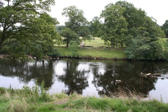
Route of Roman Bridge
Chesters Roman Fort by the river showing the route of the Roman bridge.
 Map © Crown Copyright")
TIP: Click the map for more Large scale mapping
- Grid Square
- NY9170, 275 images (more nearby 🔍)
- Photographer
- Duncan David McColl (more nearby)
- Date Taken
- Friday, 22 September, 2006 (more nearby)
- Submitted
- Tuesday, 1 July, 2008
- Subject Location
-
OSGB36:
 NY 914 700 [100m precision]
WGS84: 55:1.4785N 2:8.0788W - Camera Location
-
OSGB36: NY 912 701
- View Direction
- East-southeast (about 112 degrees)