2008
NN3679 : Looking down into Adit marked on 25,000 map
taken 16 years ago, near to Roughburn, Highland, Scotland
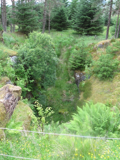
Looking down into Adit marked on 25,000 map
An adit is a type of entrance to an underground mine which is horizontal or nearly horizontal: In this case for Laggan Dam hydro water catchment works. See Explorer map.
 Map © Crown Copyright")
TIP: Click the map for more Large scale mapping
- Grid Square
- NN3679, 9 images (more nearby 🔍)
- Photographer
- Phillip Williams (more nearby)
- Date Taken
- Wednesday, 9 July, 2008 (more nearby)
- Submitted
- Wednesday, 9 July, 2008
- Subject Location
-
OSGB36:
 NN 365 797 [100m precision]
WGS84: 56:52.7979N 4:41.0756W - Camera Location
-
OSGB36: NN 365 796
- View Direction
- Northwest (about 315 degrees)