2004
SD8077 : Calf Holes
taken 19 years ago, near to High Birkwith, North Yorkshire, England
This is 1 of 7 images, with title Calf Holes in this square
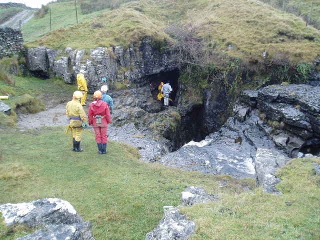
Calf Holes
Cavers queuing to descend into the Calf Holes cave system. The track beyond the wall in the top left of the picture is the Pennine Way.
 Map © Crown Copyright")
TIP: Click the map for more Large scale mapping
- Grid Square
- SD8077, 73 images (more nearby 🔍)
- Photographer
- Martyn B (more nearby)
- Date Taken
- Friday, 10 December, 2004 (more nearby)
- Submitted
- Wednesday, 11 May, 2005
- Subject Location
-
OSGB36:
 SD 80 77 [1000m precision]
WGS84: 54:11.5733N 2:18.0215W