2008
NC5556 : The Path to Loch Bhualaidh
taken 16 years ago, 3 km from Achuvoldrach, Highland, Scotland
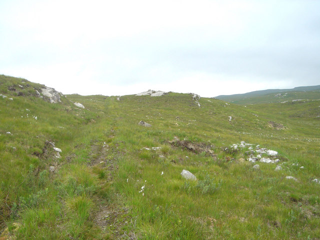
The Path to Loch Bhualaidh
Although now little used and covered by vegetation, this path is laid with stone and lined out with drainage ditches on both sides.
 Map © Crown Copyright")
TIP: Click the map for more Large scale mapping
- Grid Square
- NC5556, 4 images (more nearby 🔍)
- Photographer
- david glass (more nearby)
- Date Taken
- Friday, 1 August, 2008 (more nearby)
- Submitted
- Sunday, 3 August, 2008
- Subject Location
-
OSGB36:
 NC 557 567 [100m precision]
WGS84: 58:28.5088N 4:28.5033W - Camera Location
-
OSGB36: NC 558 567
- View Direction
- West-southwest (about 247 degrees)