2008
SK0305 : Wyrley and Essington Canal - near Pelsall Road
taken 16 years ago, near to Clayhanger, Walsall, England
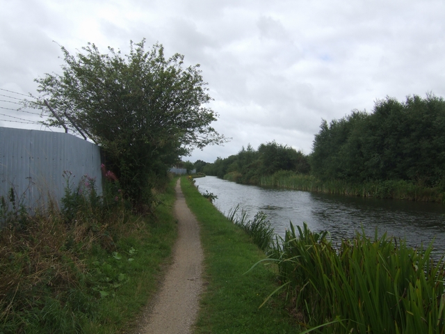
Wyrley and Essington Canal - near Pelsall Road
The towpath is used by NCN 5 and the Beacon Way. The far bank shows traces of old basins and loading wharves serving the local collieries.
 Map © Crown Copyright")
TIP: Click the map for more Large scale mapping
- Grid Square
- SK0305, 37 images (more nearby 🔍)
- Photographer
- John M (more nearby)
- Date Taken
- Sunday, 10 August, 2008 (more nearby)
- Submitted
- Sunday, 10 August, 2008
- Subject Location
-
OSGB36:
 SK 032 051 [100m precision]
WGS84: 52:38.6502N 1:57.2485W - Camera Location
-
OSGB36: SK 032 052
- View Direction
- South-southwest (about 202 degrees)