2008
TM4448 : Erosion of the Shingle Ridge near the Lighthouse
taken 16 years ago, near to Orford, Suffolk, England
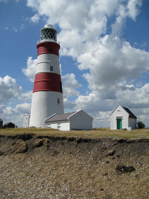
Erosion of the Shingle Ridge near the Lighthouse
The lighthouse is getting much closer to the sea, this area of shingle is rapidly eroding.
 Map © Crown Copyright")
TIP: Click the map for more Large scale mapping
- Grid Square
- TM4448, 164 images (more nearby 🔍)
- Photographer
- Alison Rawson (more nearby)
- Date Taken
- Friday, 15 August, 2008 (more nearby)
- Submitted
- Monday, 18 August, 2008
- Subject Location
-
OSGB36:
 TM 449 489 [100m precision]
WGS84: 52:5.0745N 1:34.4228E - Camera Location
-
OSGB36: TM 449 487
- View Direction
- NORTH (about 0 degrees)