2005
NZ1914 : Lane to Low Field, near Eppleby, North Yorkshire
taken 18 years ago, near to Eppleby, North Yorkshire, England
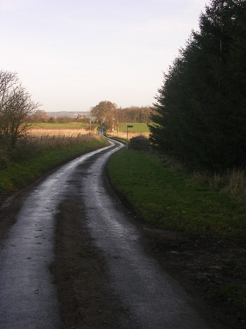
Lane to Low Field, near Eppleby, North Yorkshire
Cul de sac country lane running north from the Manfield to Eppleby road to Low Field and Cliffe Hall. Looking north just by the northern end of Burnthouse Plantation.
 Map © Crown Copyright")
TIP: Click the map for more Large scale mapping
- Grid Square
- NZ1914, 4 images (more nearby 🔍)
- Photographer
- Oliver Dixon (more nearby)
- Date Taken
- Monday, 19 December, 2005 (more nearby)
- Submitted
- Wednesday, 21 December, 2005
- Subject Location
-
OSGB36:
 NZ 190 147 [100m precision]
WGS84: 54:31.6339N 1:42.4765W