2005
TL2235 : Radwell International Airport!
taken 18 years ago, near to Radwell, Hertfordshire, England
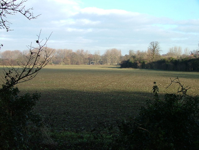
Radwell International Airport!
Although originally listed here as Stotfold International Airport, it's actually Radwell International airport, and it has been in regular use since 1987, but the grass runway is off to the left and can't really be seen in the photo. There is a fault with the OS map which shows two runways in this field and this photo is taken from the end of the 'other' one. The trouble is, that runway only existed for the summer of 1995 when there was a race by microlight from Villanueva del Pardillo (near Madrid) to Radwell, and it was subsequently ploughed up. Unfortunately, OS re-surveyed the area at that time and the 1:2500 OS map has shown both runways ever since.The OS maps show this as a landing strip. I for one don't fancy landing an aircraft here!
Thanks to Richard Meredith-Hardy for the information on this photo.
Thanks to Richard Meredith-Hardy for the information on this photo.
 Map © Crown Copyright")
TIP: Click the map for more Large scale mapping
- Grid Square
- TL2235, 13 images (more nearby 🔍)
- Photographer
- Robin Hall (more nearby)
- Date Taken
- Sunday, 25 December, 2005 (more nearby)
- Submitted
- Sunday, 25 December, 2005
- Subject Location
-
OSGB36:
 TL 225 355 [100m precision]
WGS84: 52:0.2658N 0:13.0091W - Camera Location
-
OSGB36: TL 225 353
- View Direction
- NORTH (about 0 degrees)