2008
NT5477 : Athelstaneford Mains on B1347
taken 16 years ago, near to Athelstaneford, East Lothian, Scotland
This is 1 of 3 images, with title starting with Athelstaneford Mains in this square
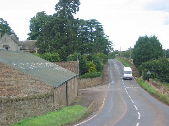
Athelstaneford Mains on B1347
After negotiating a seemingly never-ending bend on the B1347, we're back on the straight and narrow, with Athelstaneford Mains buildings on the left, and wheat fields on the right.
 Map © Crown Copyright")
TIP: Click the map for more Large scale mapping
- Grid Square
- NT5477, 30 images (more nearby 🔍)
- Photographer
- Renata Edge (more nearby)
- Date Taken
- Wednesday, 10 September, 2008 (more nearby)
- Submitted
- Friday, 12 September, 2008
- Subject Location
-
OSGB36:
 NT 540 770 [100m precision]
WGS84: 55:59.0745N 2:44.2529W - Camera Location
-
OSGB36: NT 540 769
- View Direction
- NORTH (about 0 degrees)