2008
NT2756 : Road to Fullarton Farm
taken 16 years ago, 3 km from Howgate, Midlothian, Scotland
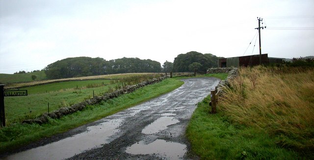
Road to Fullarton Farm
The broken road runs past some farm buildings.
 Map © Crown Copyright")
TIP: Click the map for more Large scale mapping
- Grid Square
- NT2756, 17 images (more nearby 🔍)
- Photographer
- James Denham (more nearby)
- Date Taken
- Saturday, 4 October, 2008 (more nearby)
- Submitted
- Saturday, 4 October, 2008
- Subject Location
-
OSGB36:
 NT 276 567 [100m precision]
WGS84: 55:47.9322N 3:9.3283W - Camera Location
-
OSGB36: NT 276 567
- View Direction
- Northeast (about 45 degrees)