Shared description
Peasenhall
Link
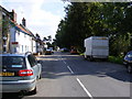
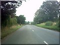
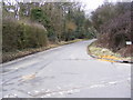
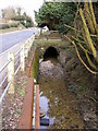
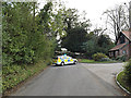
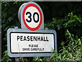
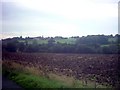
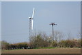
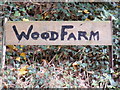
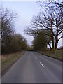
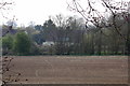
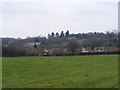
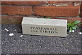
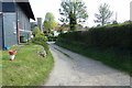
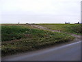
Peasenhall is a village and civil parish in the East Suffolk district, in the English county of Suffolk. The population of the civil parish at the 2021 Census was 525. It lies on the A1120 tourist route; neighbouring villages include Sibton and Badingham. It was the location of the 1902 murder of Rose Harsent.
This extract uses material from the Wikipedia article "Peasenhall", which is released under the Creative Commons Attribution-Share-Alike License 3.0.
by Geographer
Created: Thu, 27 Feb 2014, Updated: Wed, 21 Nov 2018
514 images use this description. Preview sample shown below:

... and 489 more images.
Shared descriptions
This shared description
The 'Shared Description' text on this page is © copyright 2014 Geographer.
Shared descriptions are specifically licensed so that contributors can reuse them on their own images, without restriction.
About shared descriptions
These Shared Descriptions are common to multiple images.
For example, you can create a generic description for an object shown in a photo, and reuse the description on all photos of the object. All descriptions are public and shared between contributors, i.e. you can reuse a description created by others, just as they can use yours.
Explore images
View images using this "Peasenhall" Shared Description
View images mentioning the words [Peasenhall] anywhere in text
Other shared descriptions
Related descriptions
- Kinghorn Station
By N Chadwick. Used on 2 images
- A143 Road
By Geographer. Used on 331 images
- Saxtead Bottom, Suffolk
By Geographer. Used on 48 images
- East Suffolk Line
By N Chadwick. Used on 31 images
- Arbrook Common
By Hugh Craddock. Used on 16 images
- East Suffolk County Hall
By N Chadwick. Used on 3 images
- East Witterning - Church of the Assumption of St Mary the Virgin
By Rob Farrow. Used on 4 images
- East Suffolk coastline erosion
By Evelyn Simak. Used on 143 images
The above selections are automatic and approximate, it might not always select closely matching descriptions