Shared description
Long Melford, Suffolk
Link
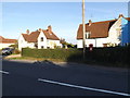
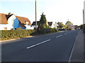
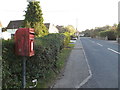
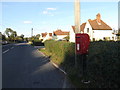
Long Melford, colloquially and historically also referred to as Melford, is a large village and civil parish in the Babergh district, in the county of Suffolk, England. It is on Suffolk's border with Essex, which is marked by the River Stour, 3 miles (4.8 km) from Sudbury, approximately 16 miles (26 km) from Colchester and 14 miles (23 km) from Bury St Edmunds. It is one of Suffolk's "wool towns" and is a former market town. The parish also includes the hamlets of Bridge Street and Cuckoo Tye. In 2011 the parish had a population of 3918.
Its name is derived from the nature of the village's layout (originally concentrated along a 3-mile stretch of a single road) and the Mill ford crossing the Chad Brook (a tributary of the River Stour).
This extract uses material from the Wikipedia article "Long_Melford", which is released under the Creative Commons Attribution-Share-Alike License 3.0.
by Geographer
Created: Wed, 15 May 2019, Updated: Wed, 15 May 2019
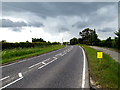
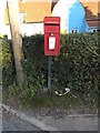
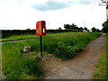
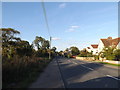
38 images use this description: (all images taken in 2014)

















Shared descriptions
This shared description
The 'Shared Description' text on this page is © copyright 2019 Geographer.
Shared descriptions are specifically licensed so that contributors can reuse them on their own images, without restriction.
About shared descriptions
These Shared Descriptions are common to multiple images.
For example, you can create a generic description for an object shown in a photo, and reuse the description on all photos of the object. All descriptions are public and shared between contributors, i.e. you can reuse a description created by others, just as they can use yours.
Explore images
Log in to view extended navigation and 'Explore' links.Other shared descriptions
Descriptions nearby
Related descriptions
- Alderford Street Mill
By Ashley Dace. Used on 27 images
- Mill Green
By Hamish Griffin. Used on 25 images
- Calais Street
By Hamish Griffin. Used on 25 images
- River Orwell
By N Chadwick. Used on 115 images
- Stour Valley Way
By Malc McDonald. Used on 46 images
- A143 Road
By Geographer. Used on 331 images
- Kinghorn Station
By N Chadwick. Used on 4 images
The above selections are automatic and approximate, it might not always select closely matching descriptions
