Shared description
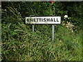
Knettishall, Suffolk
Link
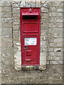
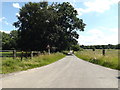
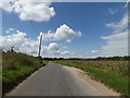
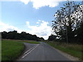
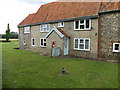
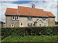
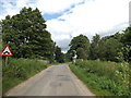
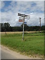
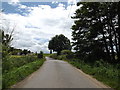
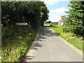
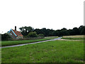
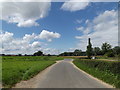
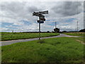
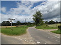
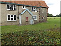
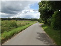
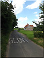
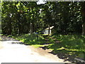
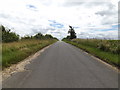
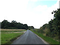
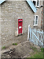
Knettishall is a village and civil parish in the West Suffolk district of Suffolk in eastern England. Located on the south bank of the River Little Ouse (the Norfolk-Suffolk border), in 2005 it had a population of 40. From the 2011 census the population of the village was not maintained and it is included in the civil parish of neighbouring Hopton.
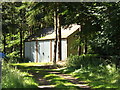
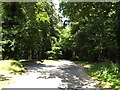
The parish contains Knettishall Heath Country Park and the remains of RAF Knettishall, a World War II airfield.
This extract uses material from the Wikipedia article "Knettishall", which is released under the Creative Commons Attribution-Share-Alike License 3.0.
by Geographer
Created: Sat, 20 Jul 2019, Updated: Sat, 20 Jul 2019
40 images use this description. Preview sample shown below:
... and 15 more images.
Shared descriptions
This shared description
The 'Shared Description' text on this page is © copyright 2019 Geographer.
Shared descriptions are specifically licensed so that contributors can reuse them on their own images, without restriction.
About shared descriptions
These Shared Descriptions are common to multiple images.
For example, you can create a generic description for an object shown in a photo, and reuse the description on all photos of the object. All descriptions are public and shared between contributors, i.e. you can reuse a description created by others, just as they can use yours.
Explore images
View images using this "Knettishall, Suffolk" Shared Description
View images mentioning the words [Knettishall, Suffolk] anywhere in text
Links for TL9780
This description is located in TL9780.
Other shared descriptions
Descriptions nearby
Related descriptions
- Kinghorn Station
By N Chadwick. Used on 2 images
- A143 Road
By Geographer. Used on 331 images
- Norfolk Rivers
By Adrian S Pye. Used on 188 images
- River Little Ouse
By N Chadwick. Used on 100 images
- Brereton Heath Country Park
By Jonathan Kington. Used on 203 images
- River Little Ouse
By Adrian S Pye. Used on 8 images
- Orford Castle - Suffolk
By Ashley Dace. Used on 84 images
- Babingley River
By Rob Johnson. Used on 6 images
The above selections are automatic and approximate, it might not always select closely matching descriptions