Showing most recent first, in descending order
42 images in cluster A143 Beccles Road in TM4599 Image clustering - assigning images labels - is an automated process, based on the image title/description. It's not totally accurate, and can sometimes assign images to odd clusters
in TM4599 , near St Olaves
A143 Beccles Road, St. Olaves When: 4 April, 2019 By: Geographer
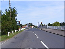
St. Olaves Bridge on the A143 Beccles Road When: 4 April, 2019
By: Geographer
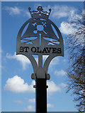
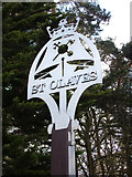
St. Olaves
Village Name sign When: 4 April, 2019
By: Geographer
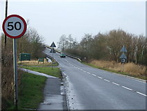
Entering St. Olaves on the A143 Beccles Road When: 4 April, 2019
By: Geographer
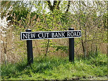
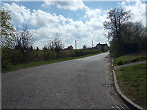
New Cut Bank Road, St. Olaves When: 4 April, 2019
By: Geographer
New Cut Bank Road
sign When: 4 April, 2019
By: Geographer
New Cut Bank Road
, St. Olaves When: 4 April, 2019
By: Geographer
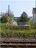
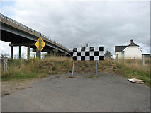
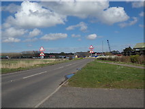
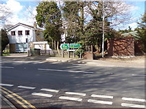
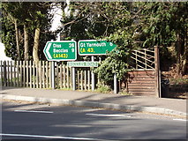
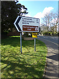
Roadsigns on the A143 Beccles Road When: 4 April, 2019
By: Geographer
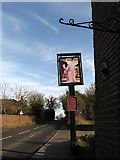
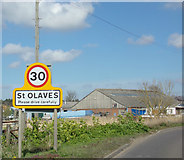
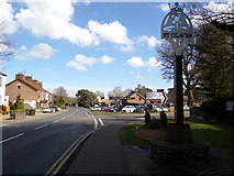
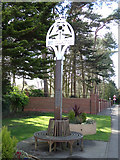
St. Olaves Village sign When: 4 April, 2019
By: Geographer
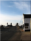
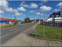
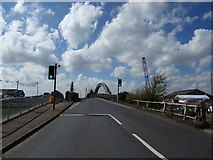
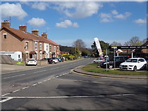
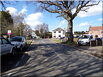
A143 Beccles Road, St. Olaves When: 4 April, 2019
By: Geographer
A143 Beccles Road, St. Olaves
When: 4 April, 2019
By: Geographer
A143 Beccles Road
& St. Olaves Village sign When: 4 April, 2019
By: Geographer
A143 Beccles Road
, St. Olaves When: 4 April, 2019
By: Geographer
St. Olaves Village sign When: 4 April, 2019
By: Geographer
St. Olaves Village sign
When: 4 April, 2019
By: Geographer
A143 Beccles Road, St. Olaves When: 4 April, 2019
By: Geographer
Roadsigns on the A143 Beccles Road When: 4 April, 2019
By: Geographer
Roadsign
on the B1074 Herringfleet Road When: 4 April, 2019
By: Geographer
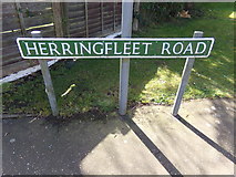
Herringfleet Road sign When: 4 April, 2019
By: Geographer
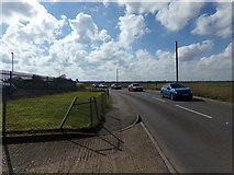
B1074 Herringfleet Road, St. Olaves When: 4 April, 2019
By: Geographer
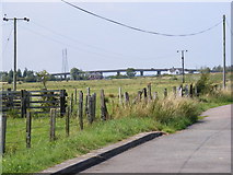
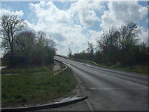
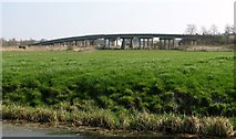
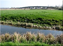
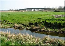
Haddiscoe Bridge from the south-west When: 30 March, 2019 By: Evelyn Simak
The Haddiscoe
Cut Bridge When: 30 March, 2019
By: Evelyn Simak
St Olave's Bridge [2] When: 8 September, 2016 By: Michael Dibb
St Olave's Bridge [
1] When: 8 September, 2016
By: Michael Dibb
St Olave's Priory [1] When: 8 September, 2016
By: Michael Dibb
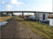
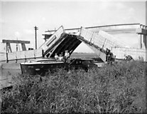
Old road crossing point on the New Cut When: 26 June, 2010 By: Glen Denny
Path along the New Cut When: 20 February, 2010 By: Evelyn Simak
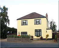
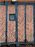
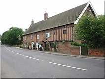
The Old Post Office in Beccles Road (A143) When: 16 October, 2009 By: Evelyn Simak
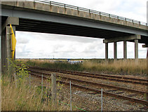
Wherry Line passing under Haddiscoe Bridge When: 11 September, 2009 By: Evelyn Simak
Sign at sharp bend in Station Road When: 11 September, 2009
By: Evelyn Simak
S
t.Olaves Bridge When: 8 August, 2009 By: Geographer
Haddiscoe Cut Bridge & A143 Beccles Road When: 8 August, 2009
By: Geographer
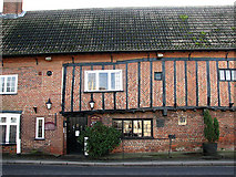
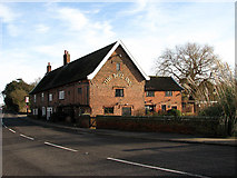
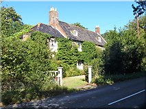
The Bell Inn
, St Olaves When: August 2004 By: Roy Douglas
Explore these images in the Browser or Explore matching images including in surrounding squares (if any!)
Other Automatic clusters in TM4599
New Cut St Olave's Priory River Waveney at St Haddiscoe Cut Bridge Road Bridge A143 Beccles Road Railway Line Remains of the Priory St Olaves Road Haddiscoe Station Common and Widespread Near Reedham Looking Village Bell Reed Beds Native Plant Woodland Edges Fritton Marshes Canal Boat Wherry Lines Taken from the Road Bridge Mill is Situated Creeping Thistle Drainage Ditch Pale Persicaria Persicaria Lapathifolia Path Leads Square Stems and Distinctive Flowers Nightshade Solanum Wider View of This Location Looking West Roughly Triangular-shaped Area Consisting of Marsh Pastures Farm Track Abundant in the South and East Name Old Spice WW2 Pillbox Way from Burgh Castle in the North Hut beside the Railway Mid 19th C Pump which is Grade Norfolk Reedbeds Lowestoft around 10 Minutes Late at 8:30 City Sidewalk or Near Housing Foundations Taken from the Garden of the Bell Edge of Fritton Warren Square-stalked Willowherb Epilobium Tetragonum Yards from the Sign
![TM4599 : St Olave's Bridge [2] by Michael Dibb](https://s1.geograph.org.uk/geophotos/05/19/04/5190485_c56ff96d_213x160.jpg)
![TM4599 : St Olave's Bridge [1] by Michael Dibb](https://s2.geograph.org.uk/geophotos/05/19/04/5190478_911fc411_213x160.jpg)
![TM4599 : St Olave's Priory [1] by Michael Dibb](https://s2.geograph.org.uk/geophotos/05/19/03/5190382_d19d5e3c_213x160.jpg)