Showing most recent first, in descending order
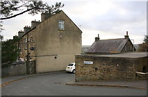
7 images in cluster Apsley Street in SE0339
Image clustering - assigning images labels - is an automated process, based on the image title/description. It's not totally accurate, and can sometimes assign images to odd clusters
Explore these images in the Browser or Explore matching images including in surrounding squares (if any!)
Other Automatic clusters in SE0339
- Footpath
- Keighley Road
- Race Moor Lane
- Moor Drive
- Viewed
- Branshaw Plantation
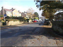
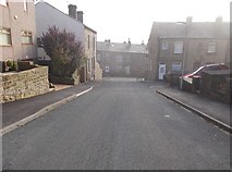
- Apsley Street
- House
- Branshaw Golf Course
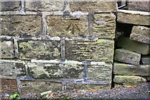
- Ordnance Survey Cut Mark Benchmark Described
- Trig Point
- Track
- Viewed from Slaymaker Lane
- Looking
- Holden Park
- New Laithe Farm
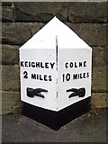
- Mile Post
- Spring Wells
- Sunhurst Drive
- Stone in the Wall
- Clough
- Un-named Lane
- Milestone